Is your organization ready for road condition data?
Avoid this simple (but common) mistake to ensure you get your road asset management planning started on a solid foundation
January 7, 2021 | 9 minute read

Summary
Before collecting road condition data, organizations need a clear and reliable road inventory. This article explains why inventory is the foundation of effective road asset management, how missing or inaccurate road ownership data can waste field time and weaken long-term planning, and how to get started by identifying owned roads, segmenting the network, and assigning each asset a unique ID.
In this article
Key takeaways
Start With Inventory
A road asset management plan needs a clear inventory before condition data, budgets, or maintenance priorities can be useful.
Consistency Matters
A stable road inventory makes it possible to track how asset conditions change year over year.
Segment Before Collecting
Roads should be split into clear assets before collection so inspectors can focus on assessment instead of deciding what belongs in the network.
Stages of road asset management
There are steps to an effective road asset management strategy: a logical progression of stages you go through, and learn from, in order to be successful. For those who are in a rush, I’ll cut to the chase. You need to have an answer to each of these questions in sequence before you move on to the next.
Stage 1: What do I have?
Your inventory. You need to know if you own the road, or asset, before you waste time rating its condition. It is critical to know what you have before you move forward. This is the foundation of the house that is your asset management strategy.
Stage 2: What’s the condition of the things I have?
Once you have a solid foundation, the next step is to objectively rate the condition of the assets in your inventory. The condition data is the frame of the house you build on top of the foundation, the bones of the structure.
Stage 3: Where and how do I need to invest my budget on an annual basis?
Time to make data-driven decisions. Use the condition data you’ve collected to prioritize targeted levels of service and to create an optimized paving and maintenance plan. Your prioritization and optimization model is the exterior-facing element of the house we’ve just built: the siding, the shingles on the roof, and the bow that ties everything together.
Today we will be focusing on the importance of Stage 1: Inventory, the foundation of your road asset management planning, and provide you with a basic framework to get it done.
Why inventory comes first
All too often, we run into the situation where folks skip Stage 1. They’re interested in collecting road condition data, but they lack any sense of exactly what they own. In effect, they are building a house on sand with no foundation. Sure, it might look good for a few weeks or months, but it’s going to break down, and break down fast.
After all, like a house, your asset management strategy is something that should be built to last. It is not a one-time exercise.
A solid inventory is critical for two main reasons.
Consistency of your asset management plan
It is critical to be able to track how the condition of your assets is changing through time. If you don’t have a solid, semi-static inventory, it is impossible to do so. You must segment your network in a way that makes sense for long-term asset management tracking and try to stick with it in order to evaluate how the condition of those segments changes year over year.
Efficiency of the condition assessment
When it comes time to get into the field and collect data, you want a clean map of roads that includes only lines you’re responsible for collecting data on. It might sound obvious, but if you’re not responsible for maintaining the road, then you generally don’t need to waste time surveying it. Remove it from the inventory. Your field inspector should be focused on the assessment, not whether or not the road falls under their jurisdiction.
A field lesson on inventory
I remember doing a data collection project for a small town where I learned the importance of having a solid inventory in a very visceral way.
This was a time when I was just starting out in the industry and still figuring out our place in it. We were doing a Pavement Condition Index (PCI) assessment for the town and, before we hit the field, we made sure to have their road segments set up, our gear ready to go, and rental cars warmed up.
On the morning of the first day, I went into the Public Works office for a quick project takeoff meeting with their Director and Lead Hand, while my colleague started field work. I showed them the TotalPave app and briefly described the assessment methodology, but when I showed them the map of sections, a confused look came over their face.
“Hmmmmm, I don’t think we own that one?” the Director said with a hesitancy in his voice.
He took a second look. “There’s another one, I’m not sure if that’s ours either.” A third look. “We own this one at the town boundary, but it’s not showing on the map. I think we’ll have to add that one in.”
I mentioned that we’d sourced the road centrelines from their Geographic Information System (GIS) consultant, so we assumed everything was set.
“Can I see what you guys have in your GIS?” I said.
The Director pointed to a series of paper maps he had covering an entire wall in his office.
Turns out their GIS setup was very much a work in progress, something that had been in the works for what seemed like years but had never really taken up in the department. The road centreline data we’d been given for the project was just a general snapshot of roads that existed inside the town boundaries, but within that boundary there were a mix of provincial, county, and other municipality roads.
Luckily, the town was relatively small, with few sections and a simple municipal boundary. Within a few hours sitting down with the Director and Lead Hand, we sifted through and removed roads they weren’t responsible for managing and added those that were missing.
I lost a morning where I should’ve been out inspecting, and my colleague ended up assessing a few roads that were later removed from the assessment. But all in all, we were still able to successfully execute the project. With that said, if the network was any larger, or the municipal boundary was complicated, this could have been a major problem.
A basic framework for getting started
The nitty gritty on setting up your road inventory is a discussion for another day, but at a minimum, here are three steps to get you started with only an afternoon’s worth of work.
Step 1: Obtain a list of roads
The first step is to identify roads within your jurisdiction that you are responsible for managing.
If you are a GIS user, which is highly recommended, there are many free resources like the National Road Network in Canada, TIGER in the United States, and OpenStreetMap globally that will get you off to a great start. Just ensure you follow whatever licensing requirements are associated with the raw source data you use.
If you are starting from scratch, pull all roads in your jurisdiction’s general area from one of the resources listed above and load the lines into your GIS program of choice. Esri ArcGIS is the industry standard, but there are completely free and open-source options like QGIS that will get you up and running in no time.
From there, begin to refine the road layer. Remove lines that are outside of your jurisdiction and those you are not responsible for maintaining. For the most part, it’s easy to visually see what you maintain and what you don’t. However, pay close attention to key areas like roads that fall on your jurisdiction’s boundary, as well as private roads. Double and triple check that all the roads in the final layer are your responsibility, and congratulations, you’ve just finished Step 1.
It is possible to complete this using only an Excel spreadsheet. However, being able to visually work with the data on your GIS map is extremely beneficial and will save loads of time down the road. Further, given that QGIS is a fully featured platform that is completely free of charge, and that you could download and have it up and running in seconds, there’s no reason to not dip your toes in the GIS pool.
Step 2: Segment the sections by intersection
After you have isolated the roads you’re responsible for managing, you need to split those roads into assets. Network segmentation is something that can be as complicated as you want it to be, but a great first step is to split the roads in the network by material, then intersection to intersection.
Just like previously discussed, it is important to do this ahead of time before data collection. You want your data collectors collecting data effectively in the field, not worrying about where roads should be segmented.
Try your best to make your segmentation as time-proof and simple as possible when you’re starting out. Odds are your intersections are going to remain relatively static for decades. Segmenting by other characteristics like age or length is something that can be done later once you gain more experience with your road asset management programming.
Step 3: Give each asset a unique ID
Great job. You now have your roads split intersection to intersection and you have a list of assets. If you sourced the road centrelines from one of the resources listed above, each of the lines will likely already have basic attributes like name, functional class, city, and so on. But the glue that holds your inventory and road asset management system together is a unique ID for each of your segments.
These unique IDs will make working with, sharing, and transferring the data between systems easy. The first thought might be to just assign a simple incrementing number column, such as 1, 2, 3, 4, and so on, but for data management purposes I highly recommend using a randomly generated series of characters.
A quick Google search will give you numerous tools online that will create these randomly generated IDs for you. Generate an ID using one of these tools, then add an ID to each asset in your list.
And congratulations, you’ve just set up a basic inventory.
Build on a solid foundation
Going through this valuable exercise first before moving forward is not only worthwhile, it is fundamental to the long-term success of your asset management program. With an inventory in hand, you can start planning your condition assessment and asset management strategy with the confidence of knowing that you are building on a solid foundation.
Related reading

Laser Profiler vs Smartphone – Precise vs Accurate IRI Data
A closer look at why a single IRI run does not represent the full width of a lane, how lateral variability affects…
Read More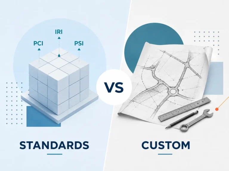
Methodology Shootout: Standards vs. Custom Road Performance Measures
An argument for not reinventing the wheel when it comes to developing your road condition assessment framework.
Read More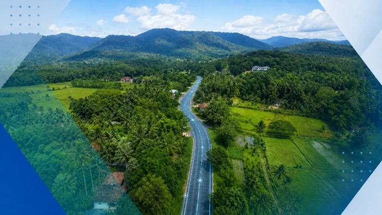
TotalPave IRI Supporting Rural Road Improvement in Sri Lanka
How TotalPave’s smartphone-based IRI data collection helped support large-scale rural road assessment for Sri Lanka’s Inclusive Connectivity and Development Project.
Read MoreNeed practical road condition data?
Tell us about your network, project, or current data collection process. We can help you determine the right setup for IRI, PCI, imagery review, or pavement planning.