
WHO IS IT FOR
For teams that need PCI without building a survey operation
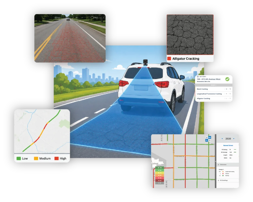
Built for teams that want an easier way to update pavement condition data using roadway video, not dedicated inspectors or heavy field workflows.
SCALABLE PCI DATA FOR NETWORKS, PROJECTS, AND PLANNING.

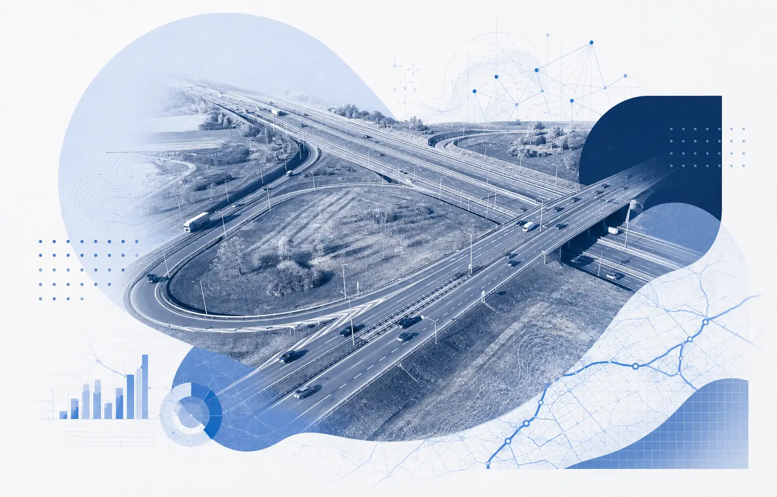
NETWORK REFRESHES
Asset Management
Refresh an aging condition dataset or establish a new baseline without assigning staff to walk the entire network.
CLIENT PROJECTS
Consultants
Add imagery backed PCI results to pavement assessment deliverables and keep a visual record that supports client review.

RESEARCH AND PILOTS
Special Projects
Assess campuses, remote routes, pilot areas, or before-and-after conditions where a full survey vehicle is impractical.
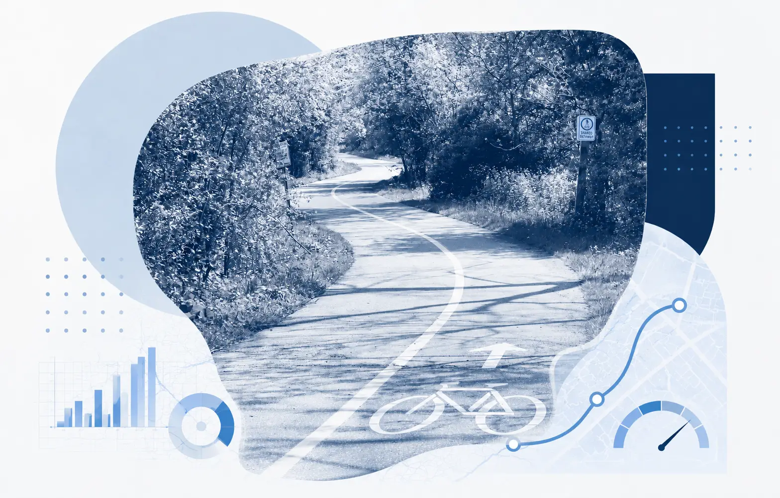
BIKE PATHS
Active Transportation
Capture video of bike paths and shared use routes, then convert the imagery into mapped condition outputs.