

WHO IS IT FOR
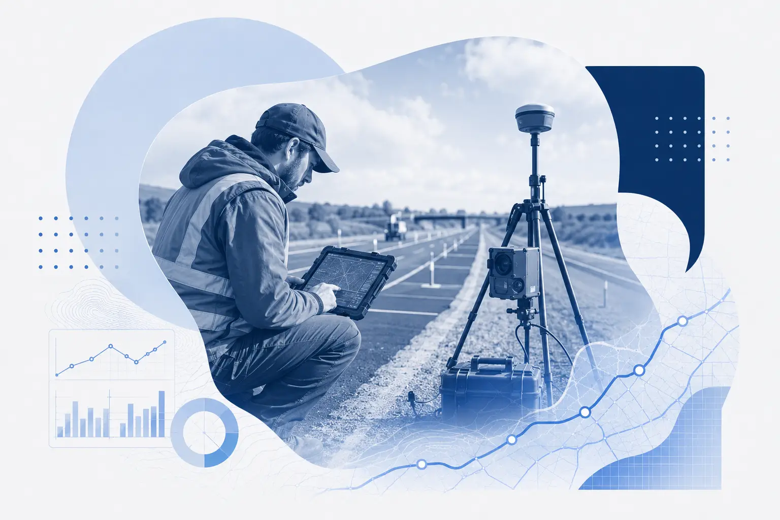
From network surveys to project checks, IRI data where you need it
TotalPave IRI makes it easy to collect repeatable roughness data with a smartphone across road networks, paving projects, haul roads, active transportation routes, and focused studies.
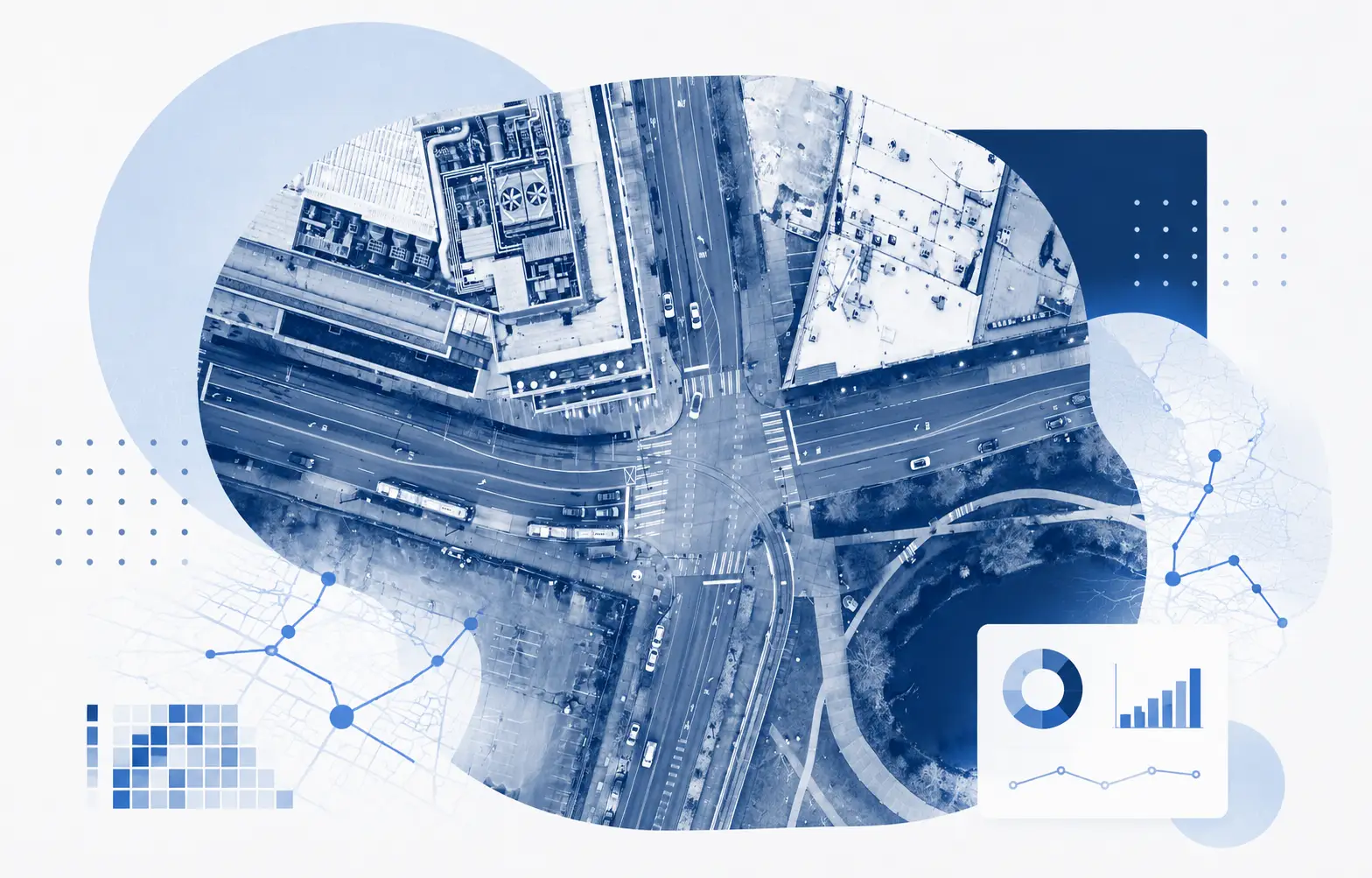
NETWORK PLANNING
Asset Management
Collect repeatable IRI across mapped road sections, track roughness over time, and support pavement planning with objective data.
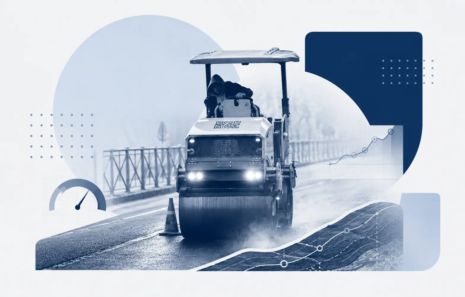
SMOOTHNESS CHECKS
Paving Contractors
Run roughness checks during or after paving, compare repeat passes, and identify smoothness issues before closeout.
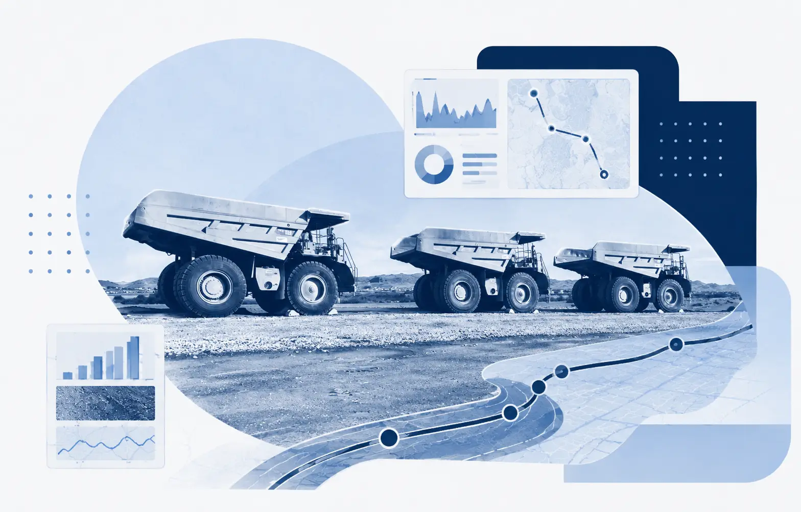
OPERATIONS
Resource Haul Roads
Monitor industrial, forestry, mining, or access roads frequently so poor road conditions don't turn into downtime, safety risks, or higher equipment wear.
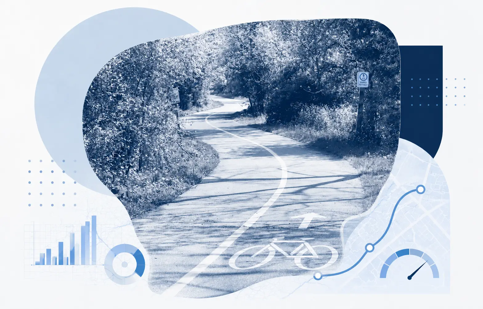
BIKE PATHS
Active Transportation
Mount the phone to a bike or e-bike and collect ride quality data on paths, trails, shoulders, and shared use routes.
RESEARCH AND PILOTS
Special Projects
Use smartphone IRI for pilots, research, airports, campuses, closed facilities, and before/after studies.
CLIENT PROJECTS
Consultants
Collect project level IRI for client networks, comparison studies, and pavement assessments with mapped results and exportable data.