TotalPave IRI Supporting Rural Road Improvement in Sri Lanka
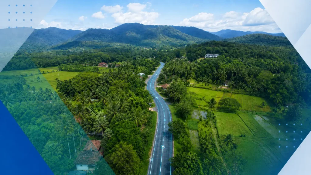
How TotalPave’s smartphone-based IRI data collection helped support large-scale rural road assessment for Sri Lanka’s Inclusive Connectivity and Development Project.
TotalPave Talk #3 – In-House Data Collection
Today we discuss how TotalPave can empower you to collect your own road condition data
Laser Profiler vs Smartphone – Precise vs Accurate IRI Data
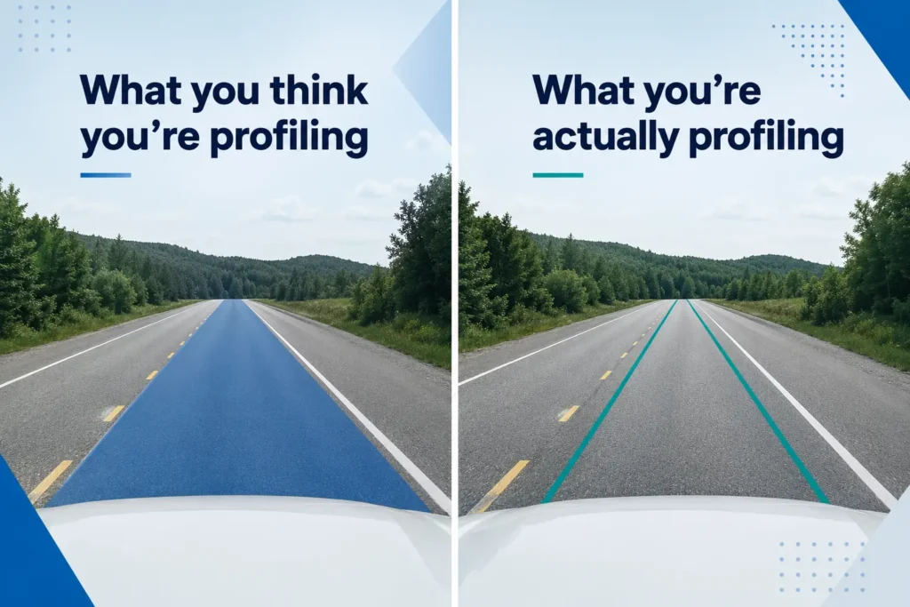
A closer look at why a single IRI run does not represent the full width of a lane, how lateral variability affects roughness results, and why lower-cost smartphone collection can help improve the accuracy of network-level IRI data.
TotalPave Talk #2: Offline Data Collection

A quick overview of how TotalPave’s PCI and IRI apps support offline data collection, so road surveys can continue even in rural areas with limited or no cell service.
TotalPave Talk #1: Line Segments
A quick overview of how TotalPave maps PCI and IRI data to road line segments, and why consistent segments make it easier to track condition changes over time.
Methodology Shootout: Standards vs. Custom Road Performance Measures
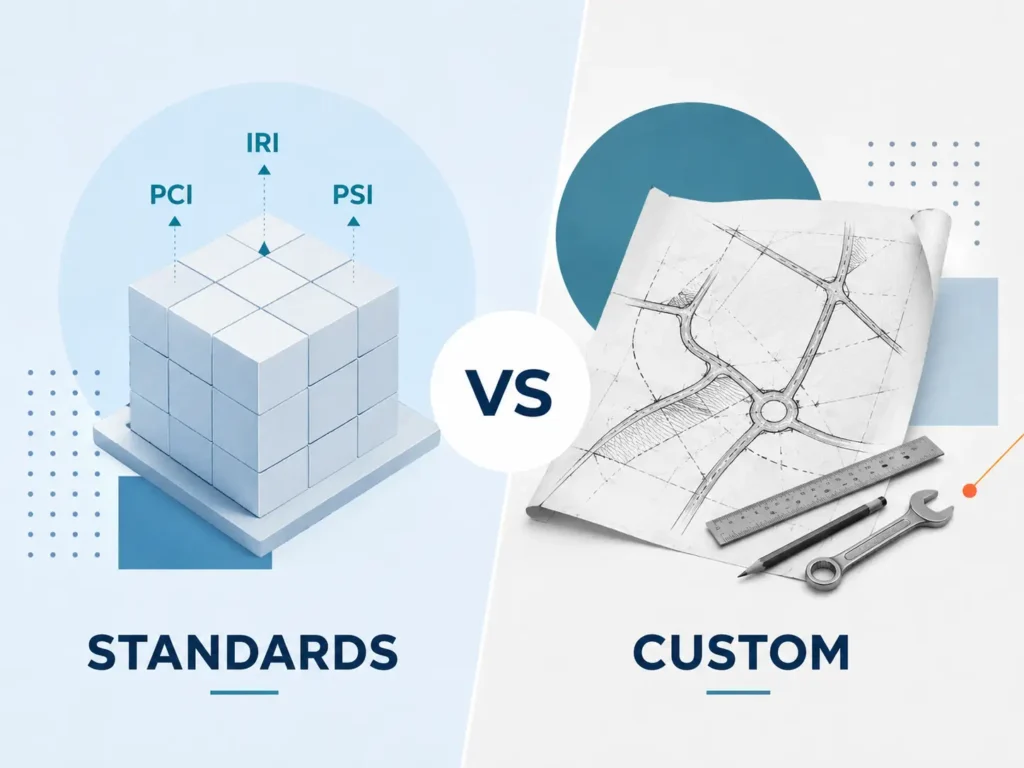
An argument for not reinventing the wheel when it comes to developing your road condition assessment framework.
Is your organization ready for road condition data?

Avoid this simple (but common) mistake to ensure you get your road asset management planning started on a solid foundation