
Imagery-Based Pavement Condition Assessment

Turn roadway imagery into quality-assured PCI, GIS-ready data, and maintenance planning insights using a camera-agnostic workflow that can work with both low-cost and high-end cameras.
Use IRI to Reduce Haul Road Downtime, and Increase Safety
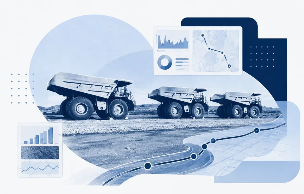
Haul road roughness monitoring using smartphone-based IRI data helps mines identify deterioration earlier, reduce the risk of unplanned downtime, protect expensive equipment, and verify that grading and maintenance work have restored roads to acceptable operating conditions.
TotalPave IRI Supporting Rural Road Improvement in Sri Lanka
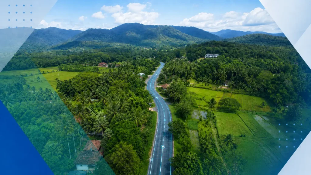
How TotalPave’s smartphone-based IRI data collection helped support large-scale rural road assessment for Sri Lanka’s Inclusive Connectivity and Development Project.